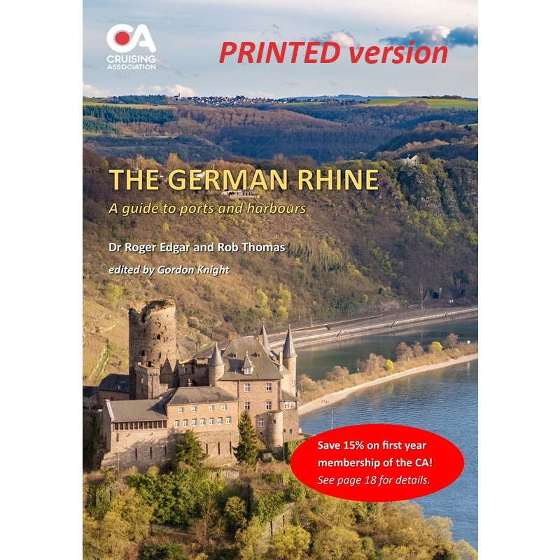


This guide covers about 725km of the river from the start of the navigable reach at Rheinfelden to Nijmegen just inside the Dutch border.
This guide covers about 725km of the river from the start of the navigable reach at Rheinfelden to Nijmegen just inside the Dutch border.
It is a 20-page, full colour A4 guide, written by CA members Dr Roger Edgar and Rob Thomas and edited by Gordon Knight. First published in 2018 and now updated for 2024. It includes a helpful introduction to the hazards and highlights of cruising this beautiful river, the guide includes a detailed list of mooring points, fuel stations, ports and harbours along the river and a list of useful websites and sources of commercially published information.
The guide is regularly updated (usually annually) using reports submitted by members of the CA's European Inland Waterways Section (EIWS).
Note that this is the printed version of the guide which is free for CA members to download. The digital version of the guide can be downloaded free for members here.
Data sheet