")
")
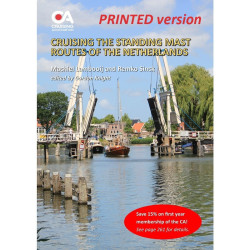
Detailed navigational information on 14 different routes by which yachts can transit the Netherlands. Printed version.
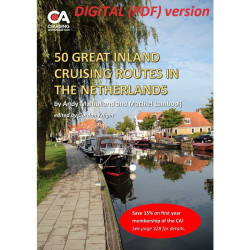
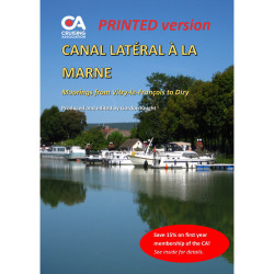
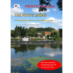
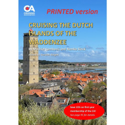
This is a 92-page A4 guide, first published in 2019 and now updated for 2026, providing detailed navigational information on 14 different routes by which yachts can transit the Netherlands. Written by CA members Andy Mulholland and James Littlewood and edited by Gordon Knight, the guide covers nearly 1,000kms of waterways from Vlissingen near the Belgian border to Delfzijl close to the border with Germany. Available in A4 size and printed in full colour throughout, the guide includes maps, distance tables, lock and bridge opening hours and colour photos to help skippers plan alternative routes.
The guide is regularly updated (usually annually) using reports submitted by members of the CA's European Inland Waterways Section (EIWS) and incorporates numerous hyperlinks to a wealth of additional information.
Note that this is the printed version of the guide, supplied through the Lulu print on demand service. The digital (PDF) version of the guide can be purchased, or downloaded free for members, here.
Data sheet
Detailed navigational information on 14 different routes by which yachts can transit the Netherlands. Printed version.