")
")
This guide covers The Canal de la Sarre, which runs north for 63 kms from its junction with the Canal de la Marne au Rhin (Est) near Gondrexange to the town of Sarreguemines, where it becomes the canalised Riv-er Sarre.
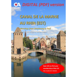
This guide covers The Canal de la Sarre, which runs north for 63 kms from its junction with the Canal de la Marne au Rhin (Est) near Gondrexange to the town of Sarreguemines, where it becomes the canalised Riv-er Sarre. The river then continues for 30 kms with France on the left bank and Germany on the right as far as the lock at Güdingen, where it enters Germany as the River Saar and flows for a further 93 kms, finally joining the River Moselle at the town of Konz. Minimum depth in the canal and river is 1.8m and air draft 3.6m.
Details are provided on all the marinas, haltes and other mooring points (even picnic stops) along the waterway, together with information on facilities, shopping and nearby attractions. Each mooring point is illustrated by a colour photo, meaning that the guide is the only detailed pictorial reference available for cruising on this waterway.
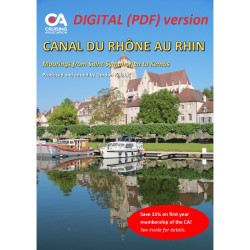
This guide is one of a series of 17 full colour guides to moorings on the French inland waterways, produced and edited by Gordon Knight, based on a series of annual cruises along these beautiful inland waterways.
The guide is regularly updated (usually annually) using reports submitted by members of the CA's European Inland Waterways Section (EIWS).
Note that this is the digital (PDF) version of the guide which is free for CA members to download. The printed version of the guide can be purchased here.
This guide covers The Canal de la Sarre, which runs north for 63 kms from its junction with the Canal de la Marne au Rhin (Est) near Gondrexange to the town of Sarreguemines, where it becomes the canalised Riv-er Sarre.